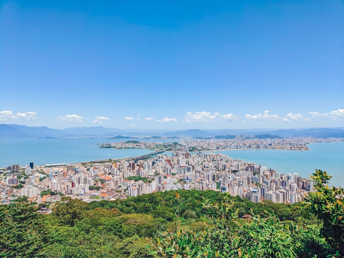
Today you drive up the Morro da Lagoa (the Lagoa hill) in a few minutes, along curves that have become scenic overlooks and postcard views. For generations, it was not like this. Lagoa da Conceição sat, quite literally, on the other side of the hill. Anyone who wanted to reach it went up on foot, or on the back of an animal, along a path almost no one remembers today.
The Path from Córrego Grande to Canto da Lagoa
It has a name, and it is on record. IPUF (Florianópolis’s municipal planning institute) documented the “Caminho do Córrego Grande ao Canto da Lagoa” in its survey Caminhos e Trilhas de Florianópolis (Paths and Trails of Florianópolis, 2001). It began at the end of what is now Rua Maestro Aldo Krieger, in the Córrego Grande neighborhood, climbed the hill, and dropped down the far side onto the Estrada Geral do Canto da Lagoa. It ran about 1,800 meters, crossing the stream four times, along a stretch that today lies within the Parque Natural Municipal do Maciço da Costeira (a municipal nature park).
It was more than a shortcut. It was a route of faith. The path saw heavy use during the celebrations of the Romaria da Santíssima Trindade (the Holy Trinity pilgrimage). Córrego Grande itself belonged to the parish of Santíssima Trindade “de Trás do Morro” (“behind the hill”), a name that said it all: Lagoa was the other side, the part that lay behind the mountain.
When Lagoa Was the End of the World
Before the paved road, reaching Lagoa from downtown Florianópolis was a matter of hours, over mud and trail across the Morro da Lagoa — the hill known as Morro das Sete Voltas (the Hill of Seven Turns). The isolation was real. It is said that, until the 1940s, children from Lagoa walked more than eight kilometers to the Agronômica district just to go to school.
Goods went up and down the hill at the pace of the island’s interior: by ox cart and by packhorse, a woven basket slung on each side, carrying whatever the small farms produced. It was a rural world, of people who measured distance in steps, not minutes.
What Changed
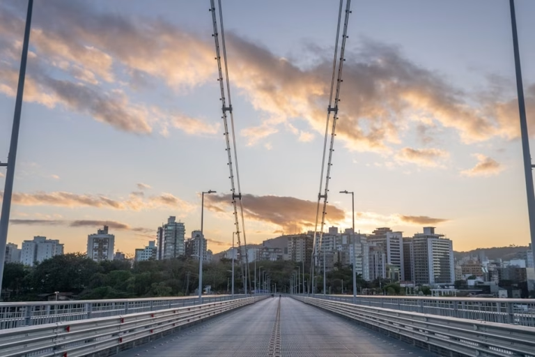
The 1957 bridge connected central Lagoa to Avenida das Rendeiras. But the turning point came in the 1970s, under the state government of Colombo Machado Salles, when the paved road climbed the hill and cut the distance for good. Within a few years, Lagoa stopped being “behind the hill” and became a destination.
The old path lost its purpose. It ceased to be the only way across and became a trail, preserved inside the park, walked today by people out for leisure who do not always know they are treading a centuries-old route.
Why This Matters Today
The same hill that once isolated Lagoa is what frames it today. The barrier became a lookout. The obstacle became a view. It is a reversal that only those who know the history notice: the curve where you stop to photograph Lagoa was, for a long time, exactly what kept Lagoa out of reach.
The path is still there. Anyone who climbs the trail from Córrego Grande to Canto da Lagoa is doing more than taking a walk. They are retracing, on foot, the route that linked two communities back when the island moved slowly.
This is what it means to know Florianópolis from the inside: to understand that today’s easy road covers yesterday’s hard path, and that the landscape that enchants was once the border that divided.
Memória da Ilha (Island Memory), a Regente series on the Florianópolis that goes unnoticed.
Sources: IPUF — Zeferino et al., Caminhos e Trilhas de Florianópolis (2001); deolhonailha.com.br; ND+ (Lagoa da Conceição, da exuberância à ocupação); NSC Total. Not to be confused with the Caminho da Costa da Lagoa (a listed heritage trail since 1986), which is a different route, along the lakeshore.
See also: the history of Florianópolis