Urban Planning and Development in Carvoeira: Zoning, Infrastructure, and Expansion
For anyone planning to buy, build, or renovate in Carvoeira, understanding the neighborhood’s urban context is just as important as the price per square meter. Zoning, topography, building height restrictions, mobility projects underway — these factors directly affect the value and liquidity of any property. This guide brings together what is known about Carvoeira’s urban planning with publicly available information.
History: Where the Neighborhood Came From
Carvoeira was officially recognized as a neighborhood in Florianópolis by Complementary Law no. 456, of January 18, 2013. Before that, the area was part of Saco dos Limões. The separation came with urban growth and the consolidation of its own identity linked to UFSC.
The name has practical origins: there was a charcoal depot in the area, used to supply fishing boats. “Carvoeira” is the name that stuck.
Geographically, it sits immediately south/southeast of the university campus, at reference coordinates -27.60° S / -48.52° W. It has 42 registered streets and boundaries that blur with neighboring districts along the three main structural routes — Rua Cap. Romualdo de Barros, Av. César Seara, and Av. Desembargador Vitor Lima cross more than one neighborhood, which creates some ambiguity in formal boundaries.
Neighboring Neighborhoods and Map Position
| Direction | Neighboring neighborhood |
|---|---|
| North / Northwest | Trindade |
| West | Pantanal |
| East / Southeast | Saco dos Limões |
| Northeast | Córrego Grande and Santa Mônica |
| East | Itacorubi |
This central position in Florianópolis’s university corridor is what defines the neighborhood: it sits between campus and downtown without being on the periphery of either.
Topography: The Technical Reality
Carvoeira has challenging topography. The terrain is irregular, with significant elevation changes between the lower areas (near structural roads) and the higher parts of the neighborhood. This has practical consequences for builders and renovators:
- Foundations on sloped terrain require specialized structural designs and can increase construction costs
- Narrow, steep streets make it difficult for heavy trucks to access during the construction phase
- Apartments in the higher parts tend to have better sunlight and ventilation, which can be a value factor
For the final buyer, the most relevant point is to verify the slope of access to the specific property. A 5-minute climb every day is different from a 15-minute climb — and this varies widely from address to address within the neighborhood.
Zoning: ARP and What It Means
Carvoeira’s predominant zoning is ARP — Predominantly Residential Area, according to Florianópolis’s Master Plan. This classification implies:
- Residential use as the primary purpose
- Restrictions on large-scale commerce within the perimeter
- Building height limits (building envelope restrictions) that vary by specific sub-zone
Attention: zoning can vary by lot within the neighborhood. It is not safe to assume that the entire neighborhood has the same classification. Before buying land or making an investment decision based on development potential, obtain a zoning certificate from PMF (Prefeitura Municipal de Florianópolis / City Hall of Florianópolis) or consult IPPUF for the specific address.
ARP zoning does not prohibit vertical residential developments, but it does define limits on floor area ratio and site coverage that the real estate agent or developer must present in the property documentation.
Main Streets and Internal Routes
The neighborhood has 42 registered streets. The most relevant for residents and investors:
Structural streets (regional access): – Rua Cap. Romualdo de Barros — main commercial axis and thoroughfare – Av. César Seara – Av. Desembargador Vitor Lima – Rua Dep. Edu Vieira – Rua Jornalista Tito Carvalho
Internal streets are mostly narrow, with irregular sidewalks in some sections. Sidewalk rehabilitation work is occasional and depends on PMF priority.
The Binário Pantanal-Carvoeira and the Edu Vieira Bikeway
In 2023, the Florianópolis City Hall delivered the Binário Pantanal-Carvoeira, which included a bidirectional bikeway on Av. Dep. Edu Vieira. This intervention was significant for two reasons:
- Real mobility: it opened a bikeway corridor connecting the neighborhood to the UFSC surroundings and to Pantanal without competing for space with cars
- Signals public investment: bikeway infrastructure projects in university corridors tend to precede other improvements and real estate appreciation
The proposed connected bikeway network in the UFSC surroundings remains under discussion at SMTT Florianópolis. If the projects advance, Carvoeira has a favorable position to benefit, given its location between campus and neighborhoods to the south.
Walking Routes to UFSC
One of the most consulted data points for those evaluating living or investing in Carvoeira is the actual distance to campus. The answer depends on your address within the neighborhood:
- UFSC south gate: 5 to 8 minutes on foot from most Carvoeira addresses
- Main path: via Rua Cap. Romualdo de Barros or Av. César Seara, without crossing high-traffic avenues
- Cycling: the Edu Vieira bikeway reduces travel time and eliminates conflict with vehicles
This direct pedestrian access is what sets Carvoeira apart from all other neighborhoods in the university corridor. No other neighborhood with comparable real estate supply has this level of proximity to the south gate.
Public Green Spaces in the Neighborhood
| Space | Type | Distance |
|---|---|---|
| Praça Frei Jacir Bachi | Public plaza | Within the neighborhood |
| UFSC campus (free access) | Green area in practice | 5–8 minutes on foot |
| Córrego Grande Linear Park | Linear park | ~5 minutes by bike |
Praça Frei Jacir Bachi is the only formal green space within the neighborhood boundaries. Its scale is neighborhood-level — suitable for everyday use, but not for large events or park-scale recreation.
The UFSC campus functions as a complementary green area for residents, with woodlands, a lake, and open areas accessible during the day.
Building Height: Are There Restrictions?
The Florianópolis Master Plan defines maximum building height for structures in ARP zones. Restrictions vary by sub-zone and street setback. For properties in the licensing process, the building permit approved by PMF is the document that confirms the allowed height.
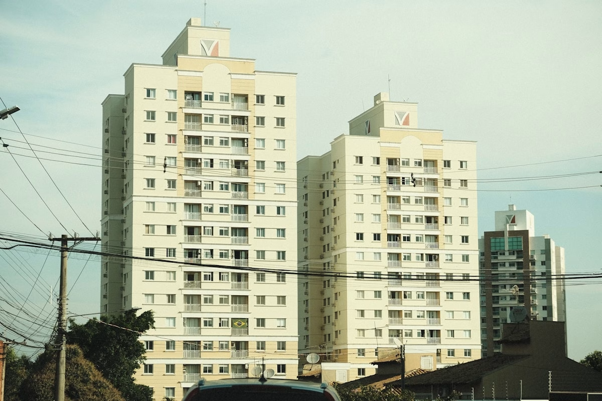
Recent developments like Residencial Cecília (ARGR, delivered in 2023) and Portal da Carvoeira (AG Incorporadora, delivery June 2026) show that the neighborhood can accommodate vertical residential launches within current rules. Zoning is not an impediment to development, but projects must comply with the specific sub-zone parameters.
Sanitation and Basic Infrastructure
Carvoeira is a consolidated urban area of Florianópolis, with water and sewage network coverage by CASAN. Trash collection is handled by COMCAP according to the municipal schedule.
Drainage problems during heavy rains are common in neighborhoods with challenging topography like Carvoeira. For those evaluating properties in low-lying areas or on streets with a history of flooding, the recommendation is to gather this information from PMF or local residents before purchase.
Urban Development Outlook
Carvoeira has no major urban intervention projects announced beyond the expansion of the bikeway network. The neighborhood is in a consolidated zone with no major street remodeling expected in the near term.
What is observed is a trend of gradual residential densification via new developments — consistent with ARP zoning and ongoing UFSC demand. This densification occurs within building height limits, without changing the neighborhood’s character.
For investors with a thesis of value appreciation through public infrastructure, the recent track record is positive (bikeway 2023), but there are no confirmed large-scale projects in the coming years.
Guide produced by Regente Imóveis based on public data from 2026. For specific inquiries about zoning, the official document is the zoning certificate issued by PMF/IPPUF.